
Maywood Neighbors by Block
A block lookup has several layers. The parcel map shows physical adjacency. The Assessor supplies AIN, situs, use, value, and ownership-associated facts. City files show permits, code notices, and public contacts. A reverse directory can name a listed householder for a historic year. Voter data is not a public block browser. The coverage table keeps those roles apart.
| Source | What it shows about a block | Access |
|---|---|---|
| PAIS parcels | Shape, AIN, visible physical adjacency | Free map browse and click |
| Assessor records | Situs, use, values, ownership-associated facts | Free address/AIN search |
| Recent-sales layer | Mapped recent-sale subset | PAIS map; not full title history |
| Maywood permits and code files | Construction, inspection, notice, disposition | Portal, department, or CPRA |
| Reverse directory | Listed person or business by street number in a year | LAPL digital or in person |
| Voter file | Approved-purpose registration and address fields | Restricted application; no curiosity browse |
| City and community contacts | Officials, programs, organizations, public contacts | City pages and meeting records |
The block is a map relationship, not a list of all people. Use each source for its own fact and put the search date next to the result.
Walk a Maywood Neighbor Block
Start with the target Maywood address in the Assessor Portal. Switch to Map Search, zoom until polygons appear, and click the target parcel. Save its AIN, then click the parcels that touch or sit close to it. Pan across both sides of the street. Rear lots and alley-separated parcels can look like front-door neighbors, so compare the street base, aerial layer, and situs fields.
The process is address to parcel to nearby AIN to separate record check. The underlying county parcel service supports spatial and distance queries, geometry, offsets, and up to 1,000 features per query. The ordinary map is better for a small Maywood block. It makes each selection visible and avoids describing a technical radius result as a list of households.
- Find the target address or AIN in Basic Search.
- Open Map Search and click the target polygon.
- Pan and click touching or nearby polygons on both sides of the block.
- Reopen each AIN in Basic Search and compare situs, use, and legal clues.
- Record adjacency as a map fact, then use other sources for people or history.
A map line does not show a shared household, a doorway, or a legal boundary. It shows the county's assessment geometry.
Read Parcel Adjacency for a Maywood Neighbor
Adjacent parcels are not always the closest homes. A rear parcel may front an alley. A long lot may touch a different street. An assessment polygon can meet another polygon without sharing a structure. Capture the AIN and situs for every selected shape. If the question is about a particular side of a street, keep frontage and physical adjacency in separate notes.
| Map fact | What to write down |
|---|---|
| Target polygon | AIN, situs, map date, and the address used. |
| Touching polygon | AIN, shared edge or corner, and street context. |
| Nearby polygon | Distance or visible relationship without calling it a direct neighbor. |
| Recent-sale layer | Mapped sale clue and its date, not a complete chain. |
| Aerial or street base | Frontage, alley, structure, and block orientation. |
Map Search is free for a guest user. The public parcel GIS service can be queried for geometry and adjacency, but a map is not a survey. For a legal boundary or parcel dispute, use the county or a qualified professional rather than a visual assumption.
Assess a Maywood Neighbor Parcel
Once the nearby AINs are saved, search each one in the Assessor Portal. The card may show situs components, land and improvement values, use or property type, legal-description fragments, map links, and recent-sale information. Owner-name search is not available on the public web portal. Mailing address can point to a trust, manager, or owner elsewhere, and an owner-associated record does not establish who is present at the parcel.
Use the Treasurer and Tax Collector for current or defaulted secured tax information and ordinarily up to three years of payment history. A tax bill may still carry a former owner after a transfer, and supplemental assessments can take months. These are parcel chronology clues. They are not a Maywood neighbors list.
The county parcel service documents the geometry and query layer behind map adjacency.
Maywood Neighbor Sales and Permits
The recent-sales layer can flag a parcel that deserves a closer look, but it is not full title history. The Recorder still requires a grantor or grantee name and recording year. Maywood permits can show a project address, scope, applicant or contractor, inspection dates, and status. Code enforcement can show a complaint address, notice, responsible party, and disposition. Older or complete city files may require a request through the City Clerk's NextRequest portal.
The mandatory Maywood pre-sale inspection adds a transfer-era record. The $110 application lasts six months, a report usually takes two to three weeks, buyer and seller sign, and the city retains the original. The report can identify violations or unpermitted work. A third-party copy is subject to redaction and release rules. A permit or inspection names a project participant, not every household member.
The Maywood NextRequest portal is the city fallback when a releasable block record is not posted.
A focused request should name the address, date range, department, and record type instead of asking for a list of neighbors.
Voter Limits for a Maywood Neighbor
LA County's self-verification form requires last name, birthdate, residence house number, and ZIP Code. It cannot enumerate a Maywood street or block. Full voter data is available only for approved purposes under Elections Code section 2194, including election, scholarly, journalistic, governmental, or political work. Personal curiosity, marketing, harassment, and Internet republication are outside that access.
Protected addresses, Safe at Home registrations, signatures, driver-license data, Social Security numbers, and specified identifiers remain confidential. Participation data shows an election or method, never a ballot choice. An inactive status does not prove a move. A failed self-check can reflect a spelling, birthdate, or protected-record issue.
Privacy boundary. A Maywood neighbors lookup cannot become a block-wide voter list. Use voter records only through the approved county process and do not republish protected fields.
Read a Historic Maywood Neighbor Block
LAPL reverse directories can show a listed name or business beside a street number for a covered year. The collection includes 1906, 1927, and 1956-1987 reverse runs, with city coverage varying by volume. LAPL's broader digitized city and street directories run 1875-1987. Check Maywood inclusion for each book. Search street-number and spelling variants because OCR and older street guides can change the result.
A historic block view can show a pattern of listed names, businesses, or address changes. It cannot prove that each name was a current neighbor, that a listed householder owned the parcel, or that every person in the structure was printed. Pair the directory with a census, deed, permit, obituary, or newspaper when the identity matters.
The Maywood city directory collection explains how the historical shelf works, while the neighbor workflow stays focused on the immediate block.
Maywood Community Directory for a Neighbor
Maywood's official sources identify Community Services, city meetings and events, schools, local organizations, and LASD patrol contacts. The City Resource Directory can point to organizations and service contacts. Research did not locate an official Maywood neighborhood-association or HOA umbrella directory with member names. That absence is a fact to report. It is not permission to infer private membership from a map or business record. A Maywood neighbors search should never fill a missing roster with guesses.
Public officers and program contacts may appear in meeting packets, Community Benefit Fund records, or an organization's own directory. Member rosters, congregation lists, block-watch contacts, and household lists are normally private. For a civic question, contact the named organization and ask what public information it releases. For a records question, use the city department that created the file.
The Maywood public-safety page explains the city's LASD contract and local service layer.
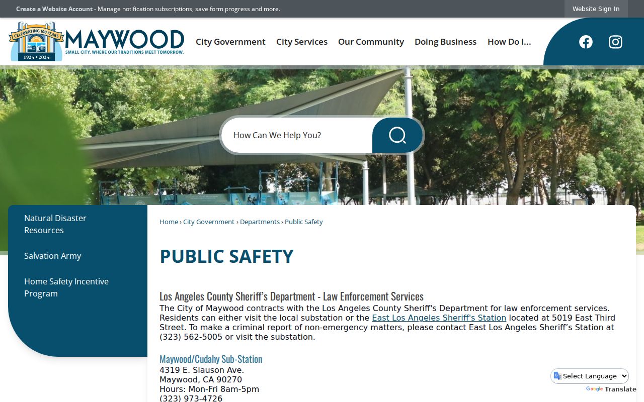
Public-safety contacts route incidents and reports; they do not create a member list for a Maywood block.
City services
Meetings, events, programs, and public contacts
Use city pages or clerk records
Community groups
Organization officers and public contact details
Ask the group about its release rules
Library reference
Local history, databases, and research help
Call the Maywood branch before visiting
Official Rolls for Maywood Neighbor Research
Commercial neighbor tools can combine parcels, directories, marketing data, and stale public records. Official sources are slower but show the custodian, record date, search field, and access rule. Neither category should be treated as a live list of everyone in a Maywood home. Compare the source before repeating a name or address.
| Question | Official route | Compiled tool limit |
|---|---|---|
| Which parcels touch? | PAIS map and county GIS | May redraw or simplify geometry |
| Who is associated with a parcel? | Assessor, Recorder, tax, or city file | May merge names or lag a transfer |
| Who was listed in an old year? | LAPL directory or census | May omit volumes and pages |
| Is a person a registered voter? | Self-verification or approved county file | Should not bypass Elections Code limits |
| Which community group is public? | City resource or organization contact | Member rosters are not assumed public |
Privacy Tools for a Maywood Neighbor
California Safe at Home provides a substitute address and mail forwarding for eligible survivors and specified public-facing workers. Protected voter addresses are suppressed. The program does not erase an old deed or parcel record, so a map can show land while the protected person remains absent from a public address field.
The California Consumer Privacy Act gives covered people rights to know, access, delete, correct, opt out of sale or sharing, and limit sensitive-data use. DROP opened in January 2026 for one request to registered data brokers. It does not erase an Assessor roll, court file, deed, or Maywood city record. Ask the source custodian to correct a government record.
The California Attorney General privacy guidance explains the consumer-data layer.
Privacy rights can limit compiled data, while the source records remain governed by their own access rules.
The Safe at Home program describes protected-address eligibility and substitute mailing.
A protected address is a reminder that a missing name or location may be a safety safeguard, not a data error.
What Maywood Neighbors Search Misses
A parcel map cannot show every person who uses a building. The Assessor does not list all household members. The Recorder lists parties to instruments. A permit lists project participants. A reverse directory lists selected names for a year. Voter files are restricted. Utility, delivery, DMV, and customer records are not a public neighbor list. An owner may live elsewhere, and a mailing address may be outside Maywood.
Keep the conclusion narrow. “Parcel touches the target” is a map fact. “Owner-associated name appears on the assessment record” is a current-roll fact. “Listed person appears at the address in 1956” is a historical directory fact. “Registrant match” is a restricted voter fact. None equals “this person is my current neighbor.” A Maywood neighbors record should preserve that distinction.
When the question expands to an entire named street, use the Maywood by-street workflow. When it narrows to one person, use the resident lookup. The block remains the right scale for adjacency, public contacts, and careful local context.
Note: A reliable Maywood neighbors record names the parcel, source, date, person role, and privacy limit beside every conclusion.