
Maywood ZIP Code 90270
The ZIP coverage table is deliberately short. Official city and county material consistently identifies 90270 for all or essentially all incorporated Maywood. Parcel-level postal areas do not necessarily reproduce the city line, and the research did not verify a Maywood PO-box-only or unique ZIP. Confirm a particular delivery address with USPS before using the ZIP as a search filter.
| Postal value | Areas covered | Post office | Notes |
|---|---|---|---|
| 90270 | All or essentially all incorporated Maywood | Maywood Post Office | Confirm station details and address delivery with USPS |
This gives the Maywood postal directory one verified starting point. It does not establish ZIP-level population, voter count, a perfect city coterminality, or a ZIP split year. Those facts were not established in the official research. Use ZIP for delivery context, then use the AIN or parcel address for records.
Verify Maywood ZIP Delivery
The USPS Lookup tool accepts a street address in address mode, with an optional unit or suite, city, state, and ZIP fields. It also offers city-and-state and cities-by-ZIP modes. Use the full delivery address when a boundary is uncertain. A result confirms postal delivery or a city-to-ZIP association. It does not determine whether the parcel lies within Maywood's incorporated boundary or which county office holds a record.
| USPS field or mode | Type | Required | Use |
|---|---|---|---|
| Street Address | Text | Yes in address mode | Physical delivery address |
| Apt/Suite/Other | Text | No | Unit or secondary delivery detail |
| City | Text | Yes | Maywood or the postal city returned |
| State | Dropdown | Yes | California |
| ZIP Code | Text | Mode dependent | Five-digit postal value |
| By City and State / Cities by ZIP | Mode tabs | Yes per mode | Postal association, not a resident list |
The USPS address lookup is the authoritative postal check used in a Maywood postal search.
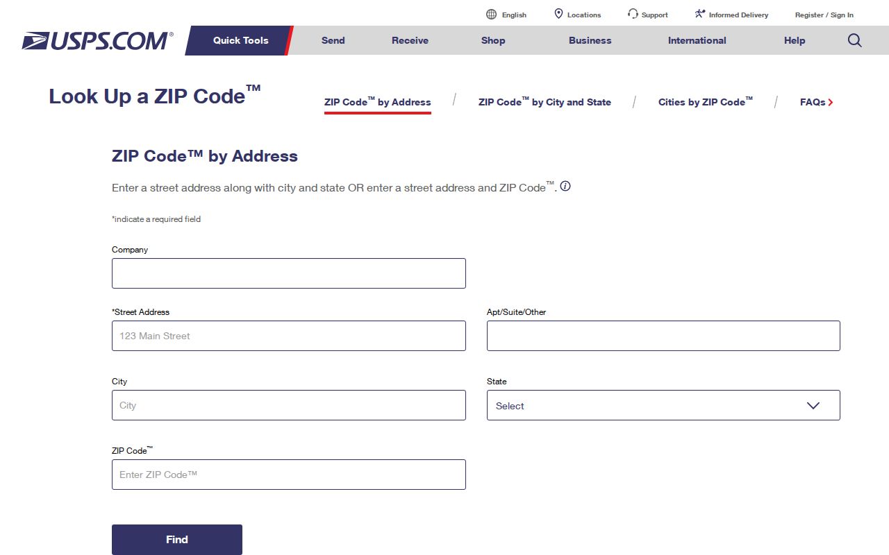
Use the returned delivery ZIP as a postal fact, then let parcel and city maps decide jurisdiction.
Maywood Postal Area Versus City Limits
A postal code is a routing area. Maywood is an incorporated city with a legal boundary. The two concepts can align for many addresses without being identical for every parcel, street segment, or post-office route. A “Maywood CA 90270” label is not independent proof that a parcel is inside the city. Check the city, parcel, and planning context when a record question depends on jurisdiction.
Maywood sits between Vernon, Huntington Park, Bell, and Commerce. Its grid follows the wider basin, so numbered streets and named avenues can cross city lines. Slauson is a major east-west corridor, and Atlantic is a major north-south corridor or boundary. Preserve the direction and street type in a postal directory search. A postal city field can stay the same while a county or city custodian changes.
- ZIP code
- A USPS delivery-routing value used to sort mail.
- ZIP+4
- A more precise postal extension, not a parcel or resident identifier.
- PO-box ZIP
- A postal value that may serve boxes rather than street delivery; no Maywood-only value was verified.
- Situs
- The physical parcel address used by the Assessor and city agencies.
- AIN
- The county assessment identifier that is more useful than ZIP for a specific parcel.
Maywood AIN Beyond ZIP Area
The Assessor and GIS tools do not have a verified “all parcels in ZIP 90270” public mode. They are address, AIN, or map driven. Enter the full situs address, capture the ten-digit AIN, and use Map Search to inspect the parcel. The AIN is formatted as map book, page, and parcel, such as 1234-567-890. It connects assessment facts to a parcel, but it does not name every person who lives there.
From the AIN, use the Treasurer and Tax Collector for current or defaulted tax information and ordinarily up to three years of payment history. Use the Recorder for the grantor and grantee trail, remembering that the deed index is offline. Use Maywood Building and Planning for permits and the mandatory pre-sale inspection file. A postal directory narrows the address set; the AIN identifies the land record.
The county's Maywood code-enforcement channel shows how an address can lead to a city file rather than a postal list.
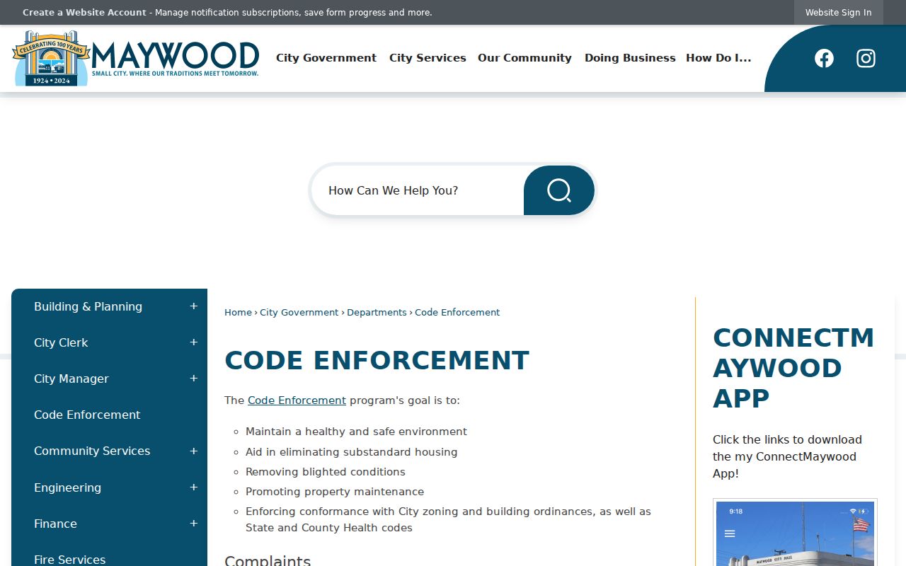
Code complaints and dispositions are address evidence, with CPRA, privacy, and redaction limits.
Maywood Grid Crosses City Lines
Maywood's 1.14-square-mile footprint is dense and compact, but its address grid is regional. Numbered streets in the 50s and low 60s and named north-south avenues can continue into neighboring cities. An old directory, tax record, or business filing may use a broader Los Angeles County or community label. A ZIP match cannot repair an address mismatch caused by a street abbreviation, a direction, or a pre-1924 jurisdiction label.
For a historical ZIP code directory search, compare the directory street guide, a legal description, the current Assessor map, and a city history source. Research did not verify a citywide renumbering or ZIP realignment year for Maywood. Do not state one as fact. Instead, record the old form and search its likely modern equivalent.
The Maywood city history page supplies local incorporation and geography context.
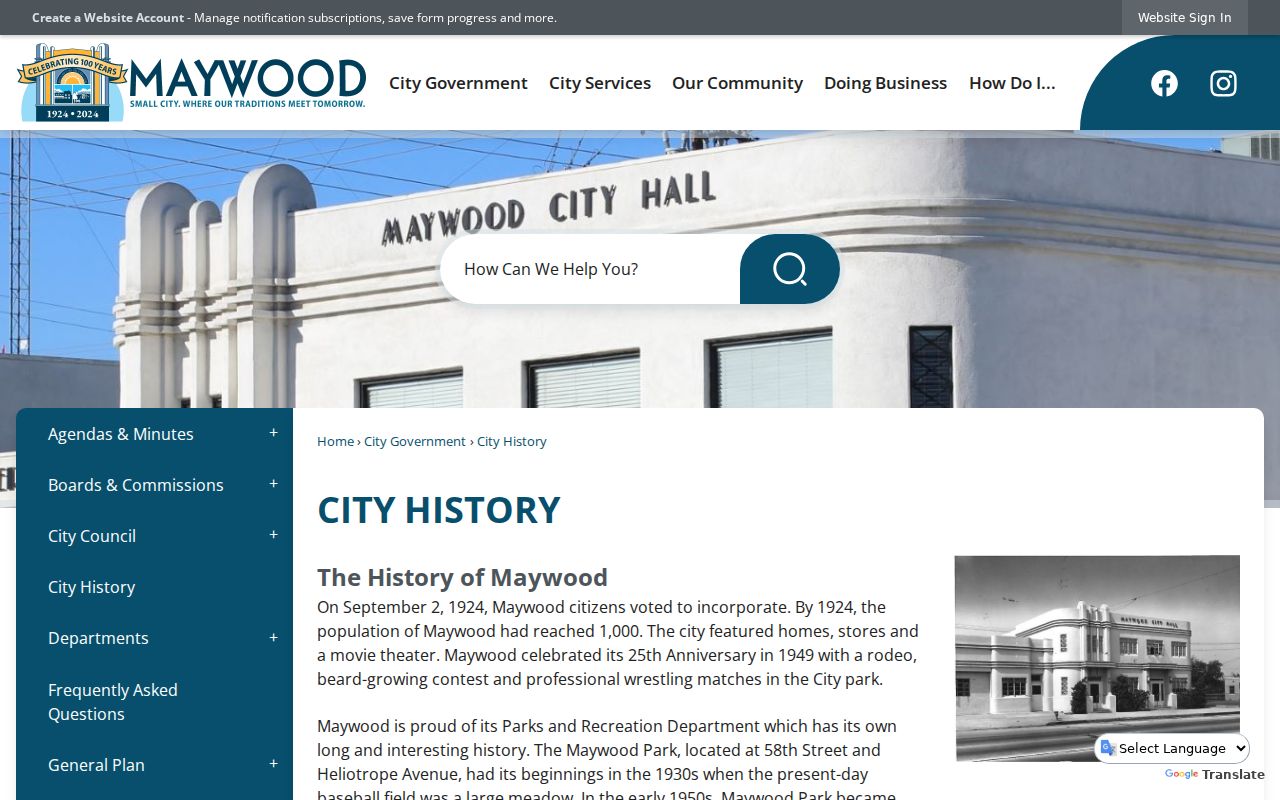
Local history anchors the postal area in a city story, but parcel records still control a specific property question.
The city's centennial historical page adds local photographs and business-site context.
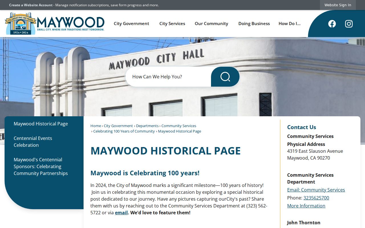
Historical images can explain a place across time, but they do not change the postal or parcel boundary.
Maywood Portals Accepting ZIP
A ZIP field appears in several California lookups, but the result type changes from one portal to the next. The voter verification tool requires ZIP with a last name, birthdate, and house number. Professional-license systems may filter by city, county, or ZIP. Business or alcohol-license tools may return a licensee or premises. None of those tools is a ZIP-wide residents directory.
| Portal or record | ZIP role | What the result is | Limit |
|---|---|---|---|
| USPS Lookup | Verifies delivery | Postal association | Not a city-boundary map |
| Voter verification | Matches house number and ZIP with name and birthdate | Self-registration result | Not a street browse; purpose limits apply |
| DCA License Search | May filter location | Licensee and credential result | Not a home or household list |
| ABC or local license | May filter premises or ZIP | Business, entity, or premises record | Public fields and coverage vary |
| Assessor Portal | No verified ZIP-wide mode | Address or AIN parcel | Use the full situs address |
Read a ZIP result as a routing event. USPS can return a delivery city and ZIP; voter verification uses ZIP only as one matching field; a license lookup may use ZIP to filter business premises; an Assessor search requires an address or AIN. A match from one portal does not transfer to another. Log the portal, query mode, returned address, result date, and next custodian. That record keeps a postal association from being mistaken for land ownership, city jurisdiction, or a household record.
When the ZIP narrows the question, move to the Maywood by-street page for address-level parcel work. Do not reverse the order by treating a ZIP code directory as a person index.
Maywood ZIP Records Contacts
Some ZIP questions are really custodian questions. RR/CC handles deeds and vital records. The Assessor handles AIN and situs facts. The Treasurer handles tax bills and payment history. The Registrar controls voter access. Los Angeles Superior Court handles cases and probate. Maywood City Clerk and departments handle city permits, licenses, code files, and CPRA requests. A ZIP code directory should point to the right office when a postal result is only the first clue.
The Recorder's real-estate records counter is at 12400 Imperial Highway, Room 2207, Norwalk, with mail and remote copy routes. Maywood City Clerk records questions go to 323-562-5714. The county voter contact is Election Information, Room 2013, 12400 Imperial Highway, with 800-815-2666 option 4. Use current office pages to verify hours and any fee change before a visit.
The Los Angeles County records contact page brings the county channels together.
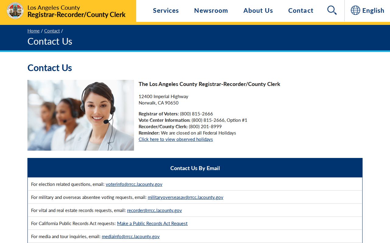
A contact page is a routing tool. It does not turn the county offices into a single ZIP-level database.
Maywood ZIP Does Not Equal Household
Maywood's Census QuickFacts context shows why ZIP-based resident assumptions fail. The city has high density, large households, and significant overcrowding described in city planning material. A ZIP code can cover a broad set of parcels. One AIN can contain more people than one owner or listed householder. A voter self-check covers one registration. A license covers one credential or premises. A ZIP code directory should describe these layers instead of promising a count of residents.
Use postal geography to sort an initial research set, then verify each address with USPS and the Assessor. For a street, capture the AIN and map. For a person, use a dated source and a second identity fact. For a historical household, check directories and census. For a city record, use NextRequest or the department that created the file. The ZIP helps route the question; the custodian answers it.
Key distinction. ZIP 90270 can support delivery and search routing, but it cannot prove that a parcel is inside every city boundary or that a person lives at a mailing address.
Maywood ZIP Facts Not Established
The research does not establish a perfect 90270 and Maywood boundary match for every parcel, a ZIP-level population or voter count, a Maywood ZIP split or realignment year, or a PO-box-only Maywood ZIP. It also does not establish a ZIP-wide Assessor search mode. Those gaps are important. A polished ZIP code directory should say what the sources prove and stop there.
For a disputed address, verify postal delivery with USPS, city situs with Planning or Building, parcel identity with the Assessor, legal identity with the Recorder, and record access with the agency that holds the file. If a historical label is unclear, compare city directories, a map, deed legal description, and the incorporation date. If a city record is missing online, make a narrow CPRA request.
Note: The verified postal value is a useful starting point, but the record trail becomes reliable only when ZIP, address, parcel, custodian, and date align.