
Map the Maywood Street Directory
A Maywood street search begins with one complete house number and street name. Enter it in the Los Angeles County Assessor Portal. Save the AIN, situs components, legal-description clue, map link, use or improvement facts, and recent-sale lead. Then switch to the parcel map to see the target and nearby polygons. The parcel number is the bridge. It lets a street-by-street search move from an address to a deed, tax record, permit file, or older directory entry without pretending that all of those records answer the same question.
Ownership and residence must stay separate. The Assessor's current roll may connect a person or entity to an assessment record. The Recorder's deed shows a recorded transfer. A permit names an applicant or contractor. A reverse directory names a listed householder for a particular year. The voter form confirms a registrant's own match when its four fields agree. Build the trail in that order and mark every conclusion with its date.
- Search the complete Maywood address or 10-digit AIN in Basic Search.
- Open Map Search and click the target parcel, then capture touching or nearby AINs.
- Use the parcel or legal description to identify a likely current grantee and recording year.
- Search the Recorder index by grantee or grantor name at an RR/CC location, then order a whole copy if needed.
- Compare the result with taxes, permits, reverse directories, and any authorized voter or court clue.
The last step is interpretation. A current owner is not automatically the person who lives there, and a missing name does not prove that a household left.
Maywood Assessor Search by Street
The Assessor Portal accepts a situs address or an AIN. Basic Search is the practical Maywood street directory entry point. Legal Search can help when a deed or old record supplies a tract or lot clue. Map Search gives geographic context. The public web portal does not offer an owner-name search, so a person cannot be entered to sweep every Maywood parcel. Start from an address, not a name.
The AIN is ten digits, displayed as a four-digit map book, three-digit page, and three-digit parcel. Parcel-card fields can include formatted APN, house number and street components, legal fragments, values, use, improvement data, map links, and recent-sale layers. The current assessment roll may lag a transfer. A first annual tax bill after a transfer can still show the prior owner, and supplemental bills may take three months to a year.
| Assessor control | Type | Required | Street-directory use |
|---|---|---|---|
| Basic Search | Mode tab | No | Open the ordinary address or AIN route. |
| Search by AIN or Address | Text/autocomplete | Yes | Find one current Maywood situs. |
| Legal Search | Mode tab | No | Follow a legal-description lead. |
| Map Search | Interactive map | No | Browse parcels along a street segment. |
| Search | Action button | No | Submit the chosen address, AIN, or mode. |
The map and card establish a parcel context. They do not provide a public occupant export. Mailing address may point to a trust, manager, or absentee owner. It is not the situs, and neither one alone is proof of residence.
The Los Angeles County parcel service supplies the map-linked parcel layer behind an address search.
The property search is a parcel lookup, so record the AIN before moving to another custodian.
Browse Parcels Along Maywood Streets
PAIS is the Assessor's map view for walking a Maywood block. Search the target address or AIN, zoom until parcel outlines appear, and click the polygon. Pan along both sides of the street. Touching polygons are not always the same street frontage; rear lots, alleys, and irregular shapes can make a nearby parcel look adjacent when it is not. Use the street and aerial layers for context, then confirm each AIN in Basic Search.
The underlying county parcel service supports geometry, offsets, distance or spatial queries, and pagination with a 1,000-feature maximum per query. That capacity does not create a ready-made resident list. A careful reader should use visible parcel selection for a bounded block and treat the map as assessment mapping, not a legal survey.
| Map layer or control | What it contributes |
|---|---|
| Search by AIN or Address | Places the Maywood target on the map. |
| Parcel polygon click | Retrieves a nearby parcel and AIN-linked detail. |
| Parcels layer | Shows assessment boundaries. |
| Recent Sales Parcels | Marks a mapped recent-sale subset, not a full title chain. |
| Aerial and street base | Helps read frontage, alleys, and surrounding land. |
The PAIS parcel map is the visual part of the Maywood street directory.
Map browsing can reveal the next AIN, while the linked assessment record supplies the details needed for a records request.
Maywood Records by Address
Several Maywood records can be reached by address, but each has a different kind of person evidence. The table below keeps the chain honest. A parcel identifies land. A deed identifies parties to a recorded instrument. A permit identifies a project participant. A tax account identifies a bill and payment history. A reverse directory identifies a listed person for a covered year.
| Record set | Keeper | What an address can show | Access |
|---|---|---|---|
| Assessment parcel | LA County Assessor | AIN, situs, use, improvement, value clues | Free address/AIN portal |
| PAIS geometry | LA County Assessor GIS | Parcel shape, nearby AINs, street and aerial layers | Free map and service |
| Secured tax account | Treasurer and Tax Collector | Bill, tax status, short payment history | AIN-based portal |
| Deeds, liens, maps | RR/CC Recorder | Grantor, grantee, instrument and legal trail | Offline name/year index; paid copies |
| Permits and inspections | Maywood Building Division | Applicant, contractor, project, inspection and status | Online counter; CPRA for older files |
| Pre-sale inspection | Maywood Building and Planning | Buyer/seller signatures, violations, transfer condition | City file; redactions may apply |
| Reverse directory | LAPL collections | Listed householder or business by street number | Digital or in-person, volume dependent |
The LA County property-tax portal adds a financial timeline after the AIN is known.
Tax history can support a parcel chronology, but an assessment or bill still does not enumerate occupants.
Party Names in Maywood Deed Records
Los Angeles County does not let the Recorder search its deed index by street address. The index is filed by grantor name, grantee name, and recording year. A grantor transfers an interest. A grantee receives it. The address-to-AIN step therefore comes first, followed by a name-and-year search at an RR/CC location. Recorder holdings reach 1850 and are viewed through Norwalk or branch channels, not a browseable public web index.
When a match is found, capture the recording date, instrument number, document type, book and page when present, APN, vesting, and legal description. The county says a whole document must be purchased rather than selected pages. Specific copies can be requested online through a contracted service, by mail, fax, or at a counter. Certified copies are generally priced at $6 for the first page and $3 for each additional page in the research record, but verify the current fee notice before ordering.
The deed chain can move through a trust, entity, lien, notice, reconveyance, or probate. Search the seller as an earlier grantee. Compare the legal description and APN rather than matching a name alone. A same-name owner may hold more than one parcel.
Note: The Recorder's offline index is an access limit, not a sign that Maywood deeds are private or unavailable.
Permits on Maywood Streets
Maywood's Building Division gives an address search a local project layer. Its GOGov or online counter is available around the clock for permit applications, inspection results, project status, and project-related financial data. The crawler did not expose a complete anonymous field list or a historical start date, so it is safer to describe the public entry points than to promise an address-wide archive. Building questions go to 323-562-5744 or building@cityofmaywood.org.
The counter offers Tuesday and Thursday service from 8-11 a.m. and Wednesday service from 8-10 a.m. by appointment. Inspections are listed Tuesday and Thursday from 8 a.m. to noon and 1-3 p.m.
Older or complete permit files can be sought from the Building Division or through the City Clerk's NextRequest route. A permit is a permanent record of improvements, with an address, scope, applicant or contractor, inspection dates, and status where the file contains them. Code enforcement can add a complaint address, violation, notice, responsible party, and disposition. A closed file may carry exemptions or redactions.
The Maywood Building Division explains the local permit and inspection channel.
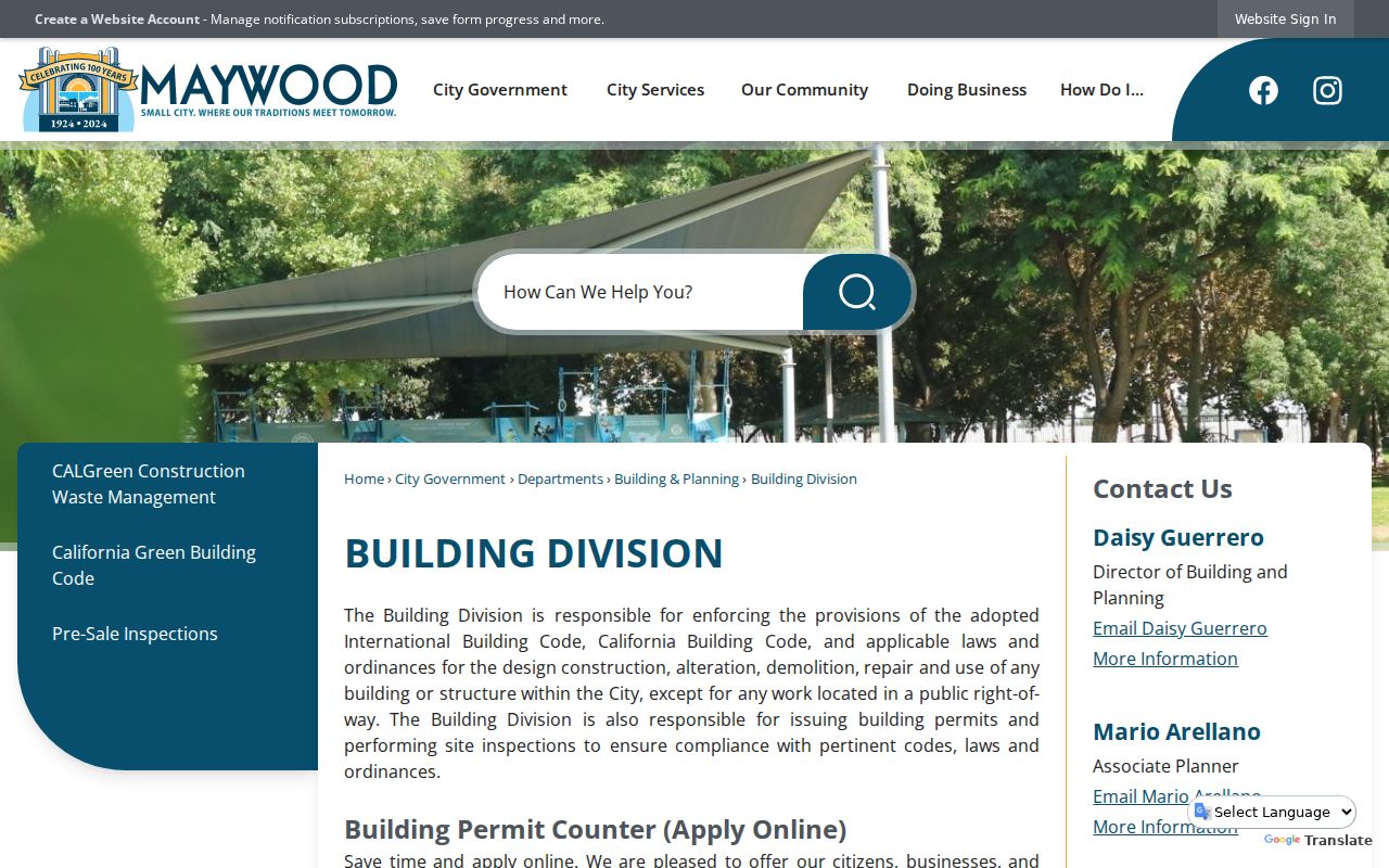
A permit screen is evidence of a project, not a list of every person who used the structure.
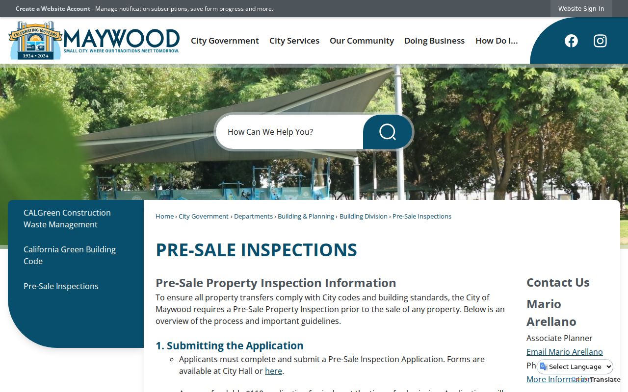
The city's mandatory pre-sale inspection is a distinctive bridge between a transfer and a property history. The application costs $110, is valid for six months, and the report usually takes two to three weeks. Buyer and seller sign, the inspector records violations or unpermitted work, and the original returns to the city for retention. A third-party copy request remains subject to privacy review.
The Maywood pre-sale inspection page is the source for that transfer-era record path.
The retained report can date physical change and name transaction participants, while it still cannot establish everyone who lived at the address.
Maywood Reverse Directory Clues
A reverse or criss-cross directory turns an address into a listed householder or business name for a particular volume. LAPL's collection browser identifies reverse-directory runs in 1906, 1927, and 1956-1987, with coverage varying by Los Angeles County city. LAPL also has a larger digitized selection of city and street directories from 1875-1987. Maywood inclusion must be checked volume by volume.
Search both the street number and spelling variants. A numbered street may appear as “Ave 64” or in words. “Broadway” and “Bway” can differ in an OCR index. A directory's listed householder may be an owner, occupant, boarder, or business contact. It is not a current county roll, and it may omit a building or skip a year.
The historical collection belongs to the Maywood city directories page, which explains how to read entries and pair them with census years. A street directory search uses the old volume as one dated clue, then compares it with deeds, permits, or newspapers.
Maywood Street Grid and Labels
Maywood's compact grid sits between Vernon, Huntington Park, Bell, and Commerce. Numbered east-west streets in the 50s and low 60s cross named north-south avenues. Slauson is a major east-west corridor, while Atlantic is a major north-south corridor or boundary. Directional letters, street types, and nearby-city labels matter when an old index or a map uses a different convention.
Maywood incorporated in 1924, so an earlier resident may be filed under a broader Los Angeles County, township, community, or postal description. Research did not verify a Maywood-wide street-renumbering year. Do not invent one. Compare the assessor map, deed legal description, directory street guide, and a contemporaneous newspaper or map when an address appears to vanish.
- Parcel
- A mapped piece of land identified in the assessment system by its AIN.
- Situs
- The physical address where the parcel sits.
- Mailing address
- The destination for assessment or tax notices, which may be outside Maywood.
- Criss-cross directory
- A street-order directory that can turn a covered address into a listed name or business.
- Legal description
- The land identity used to test continuity when a street label changes.
Note: A clean street match requires the house number, city context, legal description, and record date to agree.
Maywood Voter Street Limits
The LA County voter verification form asks for last name, birthdate, residence house number, and ZIP Code. It can help a registrant check a Maywood match. It cannot browse a street or list every voter on a block. Full voter data is available only for purposes allowed by Elections Code section 2194, such as election, scholarly, journalistic, governmental, or political work. Personal curiosity, marketing, harassment, and Internet republication are prohibited uses.
Driver-license and unique identifiers, signatures, and protected addresses remain confidential. Safe at Home registrations are suppressed. Participation data shows an election or voting method, never a ballot choice. If a form returns no match, the result may reflect spelling, birthdate, a protected registration, or an inactive status. It is not a finding that the person moved.
Lawful use. Maywood street records support personal, family-history, property, and civic research. Do not use a street directory or voter data to stalk, harass, intimidate, or track a person.
What Maywood Street Directory Misses
No public Maywood street directory can show every person connected to an address. Unlisted occupant names may be absent from the Assessor and Recorder. Children and other household members may never appear. Utility, delivery, DMV, and customer files are not a public street list. A Safe at Home participant may use a substitute address. A recorded owner may live elsewhere, and a business or trust may appear in place of a person.
Even a strong match has a time boundary. An assessment roll is current but can lag. A tax bill can carry a prior owner. A deed proves a transfer date. A permit shows a project participant. A reverse directory reflects the publisher's coverage and a past year. Mark “owner,” “listed householder,” “registered voter,” “applicant,” and “occupant clue” as different columns in any working record.
When the goal changes from a whole street to one person, use the Maywood resident lookup workflow. When the goal is the immediate surrounding block, use Find Neighbors for parcel adjacency and community-record limits.
Build a Maywood Street Ledger
A sourced ledger keeps a Maywood street directory useful after a portal changes. Give each row the address as written, search date, source, AIN, record type, person role, date of record, and confidence note. Save the legal description or instrument number when it exists. Do not copy sensitive voter fields or protected addresses into a public working file.
| Ledger column | Why it matters |
|---|---|
| Address as searched | Preserves unit, directional, street-type, and spelling choices. |
| AIN and map date | Anchors the parcel result to the current map view. |
| Person and role | Separates owner, grantor, grantee, applicant, licensee, and listed householder. |
| Instrument or file number | Lets the custodian retrieve the exact record. |
| Source date and limit | Shows whether a result is current, historical, incomplete, or restricted. |
Keep the evidence chain short. Address to AIN is one step. AIN to owner-associated parcel fact is another. Owner to Recorder party name is a lead. Recorder instrument to legal description is confirmation of land identity. Directory, tax, permit, and voter results then add separate time-stamped clues. This method is slower than a compiled people report, but it makes uncertainty visible and gives the reader a real custodian to contact.